
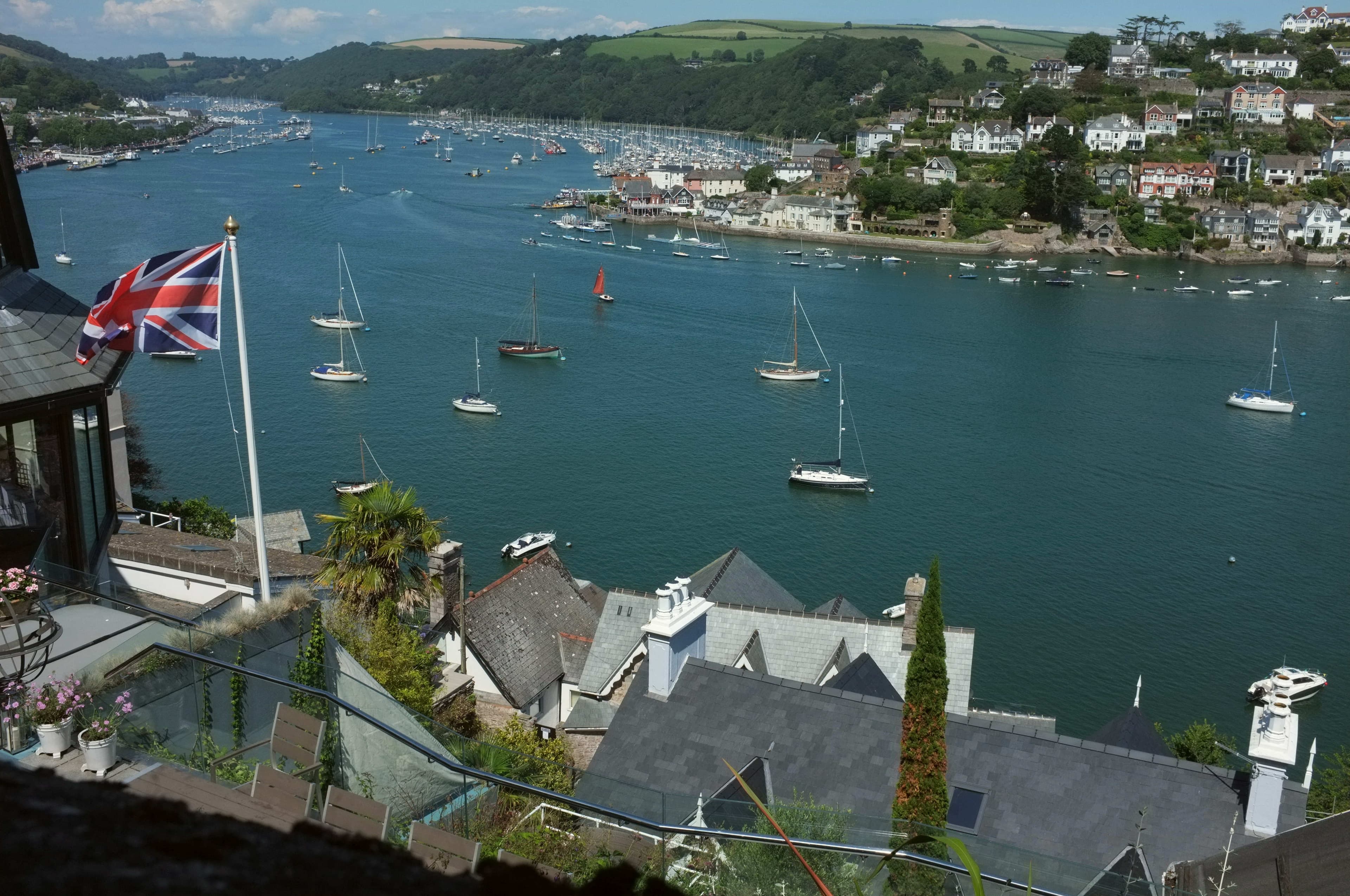
Dartmouth
Brief
Dartmouth is a deep sheltered river entered between Inner Froward Point and the Castle Ledge, past the Checkstone into the harbour between Dartmouth and Kingswear. There is deep water at all states of tide, and the moorings are governed by length rather than depth. Large yachts lie to the mid-river fore and aft moorings, to 180m, or alongside the Town Jetty by arrangement, and land at the jetty.
Approach
The entrance is about 200m wide between the rocks, with deep water inside for any draught. From seaward, a yacht passes 300m south of the Castle Ledge starboard buoy (Fl.G.5s), then leaves it more than 100m to starboard and steer for the Checkstone port buoy (Fl(2)R.5s). By night, the white sector of the Kingswear light, 325° to 331°T, leads in.
The speed limit is six knots from the Castle Ledge buoy to Totnes weir, with minimum wash by the moorings. Dart Harbour monitors VHF 11 as DARTNAV in working hours, and the yacht taxi is on VHF 69.
Pilotage
In the outer zone, from Inner Froward Point and Combe Point to the Anchor Stone, pilotage is compulsory over 50m. Above the Anchor Stone to Totnes weir it is compulsory over 30m, and over 24m for passenger vessels and tankers.
Notice is given 72 hours before arrival, updated at 12 hours and confirmed 30 minutes before arrival or any movement. The service does not run around the clock.
Tides
- HW Dover
- about −0505
- MHWS
- 4.9m
- MHWN
- 3.8m
- MLWN
- 2.0m
- MLWS
- 0.6m
- High water, Fri 25 Sept, 18:16 4.7m
- Low water, Sat 26 Sept, 00:10 0.8m
- High water, Sat 26 Sept, 06:43 4.6m
- Low water, Sat 26 Sept, 12:28 0.8m
- High water, Sat 26 Sept, 18:58 4.8m
- Low water, Sun 27 Sept, 00:49 0.7m
Admiralty predictions, UK time, refreshed hourly. Planning information, not for navigation.
Moorings and berths
- Mid-river moorings
- Dart Harbour
- To 180m LOA
- Fore and aft. Tender to the shore. No water or power
- Town Jetty, outside
- Dart Harbour
- To 60m LOA, 5m draught, by arrangement; charted 3.5m
- Reserved for passenger boats by day; available 17:00 to 08:45 and through the winter. 240V and three phase power included in the charge, water, refuse skip, CCTV
- Town Jetty, inside
- Dart Harbour
- 8 to 18m, 1.8m draught
- Walk ashore, water and power
- Mainstream buoys
- Dart Harbour
- 14 to 24m
- No walk ashore
- Darthaven
- Darthaven Marina
- To 20m
- Kingswear. Water and power at every berth. 40 tonne hoist
- Noss on Dart
- Premier Marinas
- Upriver, east bank. 16 amp, free water. 75 tonne hoist, the largest on the river
Alongside
The fuel barge Dart Crusader lies on the Kingswear side of the channel, with diesel and petrol and a fast pump at 180 litres a minute. It is open 08:30 to 18:00 daily from Easter to September, on VHF 6. Noss on Dart has a fuel pontoon by the hoist dock in daylight hours.
There is a refuse skip at the south end of the Town Jetty. Black water pump-out is at Darthaven only.
Ashore
Daddyhole Plain at Torquay is the public helicopter landing site, booked with Torbay Council on seven days' notice. Exeter Airport, with XLR Jet Centre handling, is open 08:00 to 20:00 and around the clock on request. Totnes station is on the main line to London Paddington, and ferries cross between Dartmouth and Kingswear.
Noss on Dart lifts 75 tonnes. For larger work the nearest yard is Pendennis at Falmouth.
Questions
- Is pilotage compulsory on the River Dart?
- In the outer zone pilotage is compulsory over 50 metres. Above the Anchor Stone to Totnes weir it is compulsory over 30 metres, and notice is given 72 hours before arrival.
- Where does a superyacht lie at Dartmouth?
- Large yachts lie to the fore and aft mid-river moorings, which take yachts to 180 metres, or alongside the outside of the Town Jetty to 60 metres by arrangement, outside the hours reserved for passenger boats.
- Where does a yacht take fuel at Dartmouth?
- The fuel barge Dart Crusader lies on the Kingswear side of the channel and is open 08:30 to 18:00 daily from Easter to September, on VHF 6.
- What is the speed limit on the Dart?
- The speed limit is six knots from the Castle Ledge buoy to Totnes weir, with minimum wash by the moorings. It applies to a yacht's tenders as to any other vessel.
Charges are revised each year. This page is a guide, not a quotation.
Dart Harbour and Navigation Authority, including the pilotage directions; Darthaven Marina; Premier Marinas; Yeowards fuel barge; Torbay Council; XLR Jet Centres. Checked 22 and 23 September 2026.